

Tour de Podhale 2/2
Location:
Polska
Category:
medium
Distance:
71 km
Start:
Zakopane PKP
End:
Nowy Targ PKP
Gpx:
Rodzaj nawierzchni:
asfaltowe ścieżki rowerowe
drogi publiczne
Rodzaj roweru:
SPD - trasy odpowiednie dla każdego rodzaju roweru, tzn. szosowego, crossowego i górskiego/MTB
TRK - trasy odpowiednie dla roweru crossowego i górskiego/MTB
Podhale is an extraordinary land. It fascinates us with the variety of landscapes, intrigues us with culture, unusual slang, and traditions. The second part of the two-day trip through Western Podhale, where the popular places border the almost unknown ones, and the views change fast. We will find a lot of well-prepared cycling paths in Czarny Dunajec and Nowy Targ municipalities. The second day of this trip is much more technical and has a few parts on gravel roads, however, the views reward us handsomely for our inconveniences.
Total length: 71 kmTotal ascent: 740 m (going from Zakopane), 1000 m (going from Nowy Targ)Riding time (without breaks): 4 h 47 minRequired experience: ModerateNecessary physical fitness: ModerateStart and end: Zakopane Railway Station, Nowy Targ Railway StationAccess: train, car
Notes:the trail is a part of a two-day trip, or a one-day excursion if you take a train back to the starting pointtaking a funicular to Gubałówka saves you 300 m of the uphill rideHelmets required in Slovakia possible to start both in Nowy Targ and Zakopane
Main attractions of the route:
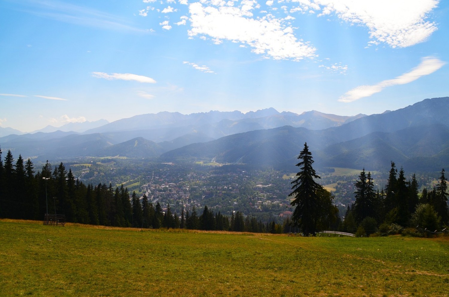
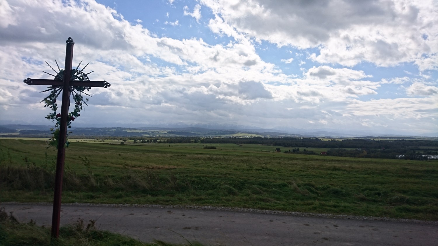
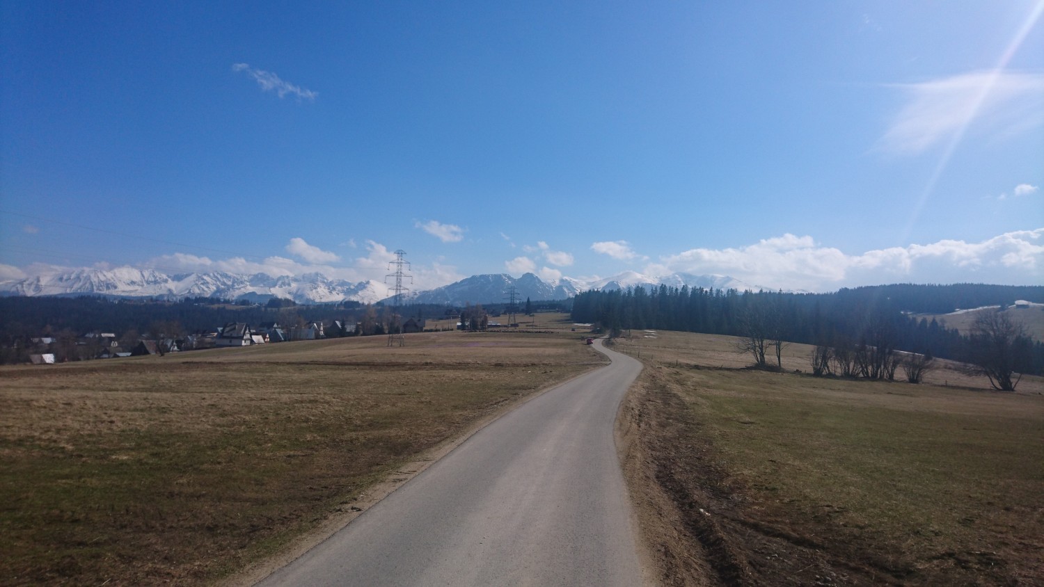
Zakopane: love or hate - Zakopane evokes extreme feelings, however, it’s undoubtedly the winter capital of Poland and an interesting place of Tatra foothills.Gubałówka: a must-see in Zakopane, a difficult ride for the bikers - a lot of hikers on the trail.Gubałówka - Ciche: who doesn’t like long, mild, picturesque ridges? Keep your fingers crossed so it’s not too windy.Chochołów - wooden architectural treasure (UNESCO listed), a live memory of former times, a newly opened Peatlands MuseumShopping in Suchá Hora - chocolate, nuts, drinks? Nech sa páči!Former railway Nowy Targ - Trstená: nowadays, a transborder cycling route, however, its history is a great lesson about these areas, as well as about the whole of Europe.Peat Mine Baligówka: peculiar place, the peat mining grounds.Baligówka Forest: a forest enclave among peat bogs, formerly a military compound.Baligówka Shepherd's Hut: the proper place for the enthusiasts of oscypek (smoked sheep milk cheese). Shepherd’s tales, flocks of sheep, and a traditional family hut.Załuczne and Odrowąż area: the Tatra mountains from a different perspective, looming in the distance over the green carpets of forests and peat bogs.Wierchowa Road: with such views, it’s difficult to focus on the road. Fortunately, it’s just a cycling path.
Description:
Before the first part of the route, we recommend having a good breakfast - 300 m of ascent to Gubałówka is quite a challenge. Those less full can help themselves with the funicular to Gubałówka (carriage of bicycles is permitted).
The downhill ride from Gubałówka to Ciche Dolne is rich in amazing views. It’s difficult not to stop here and there to look back, towards the Tatras.
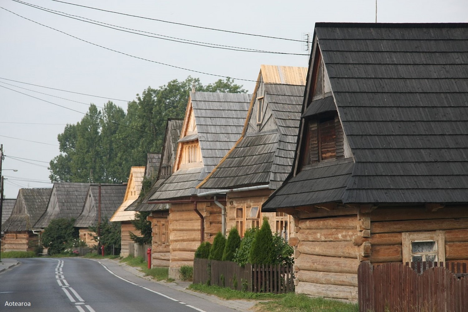
From Ciche Dolne, we start a bit more challenging ascent to Domański Wierch, and further, we ride down on the steep slope to Chochołów. One of the houses here, supposedly, was built from the wood of only one tree. Behind the village, we stop by in Slovakia, where you can buy local delicacies.
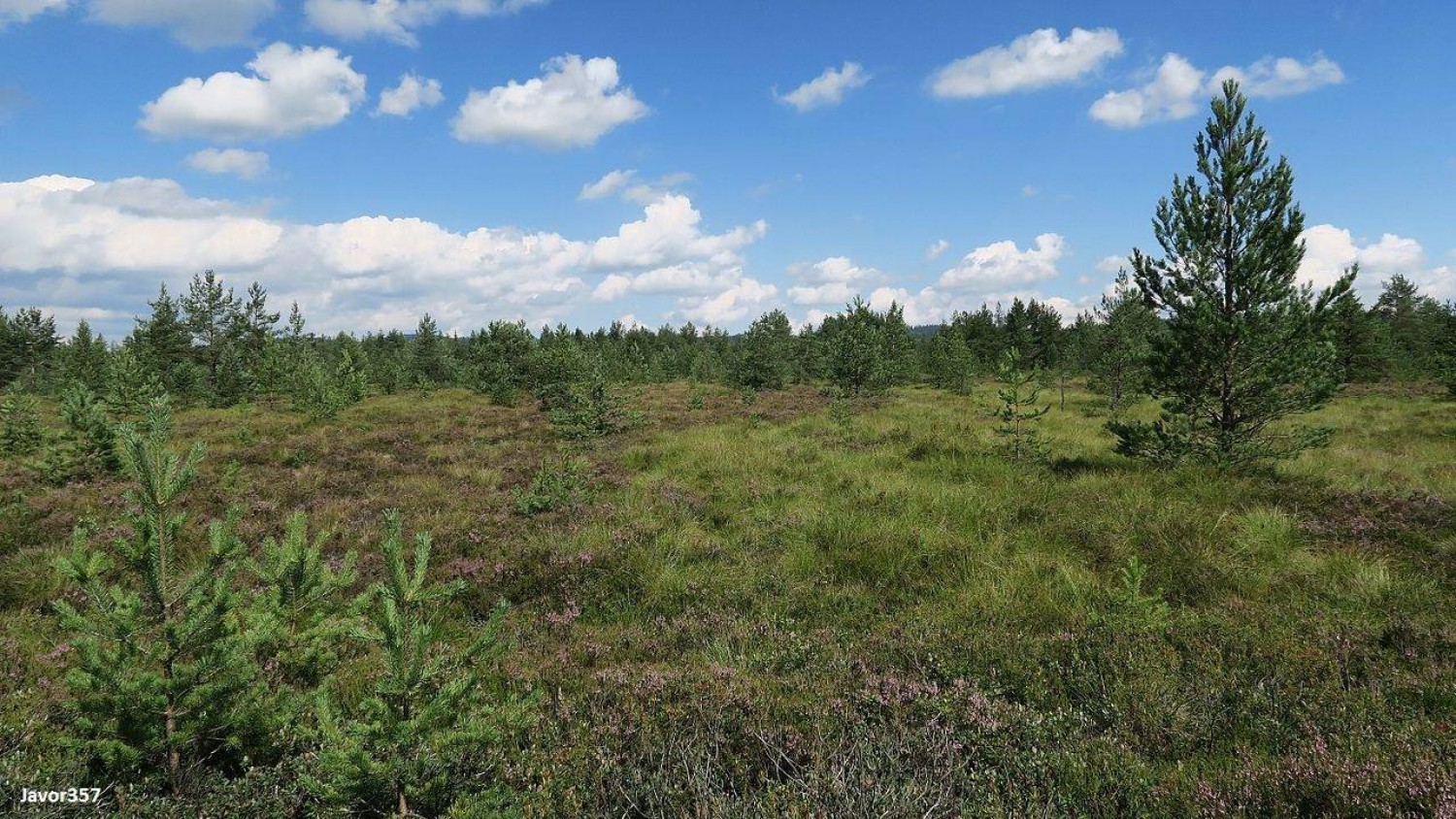
On the old dirt road, we get to the ruins of the former railway station in Suchá Hora, from where we get back to Poland and further, on the old railway embankment, all the way to the ruins of Podczerwone station. Next, we go towards Baligówka forest through a long woodsy stretch. After leaving the woods, it’s worth turning right to visit the shepherd’s hut Baligówka - this is where oscypek is produced according to the old traditional recipes. You will also find here an educational path through the peatlands (only on foot, preferably in good shoes).
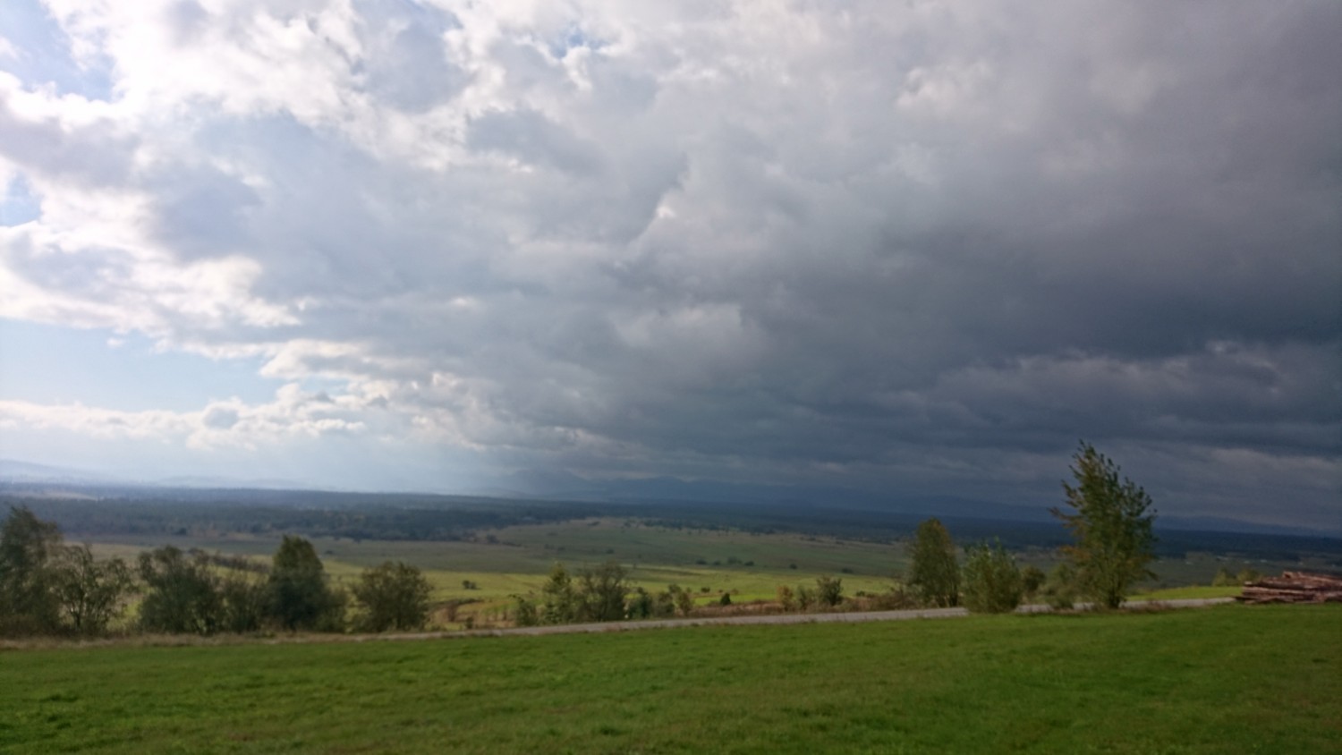
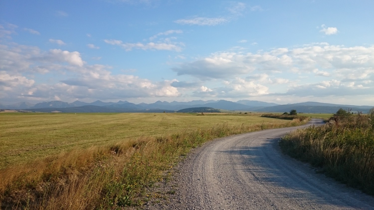
The next part to Piekielnik runs, unfortunately, through the voivodeship road, sometimes quite busy, however, we turn right into the village and we enter a much more peaceful area. The next part, all the way to Dział, changes from short ascents to steep downhill roads, but one thing is constant - the amazing views over the woodsy peat bogs and Tatras looming in the distance.
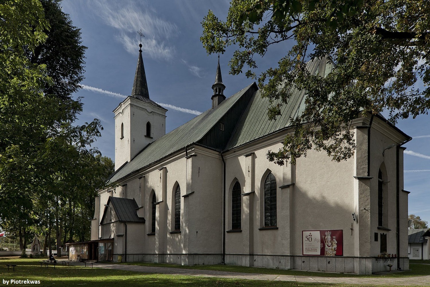
Behind Dział, full of greenery and beautiful landscapes, we turn into a breathtaking part of Wierchowa road, which we take down to Krauszowa and Ludźmierz (in Ludźmierz, you can wander off to visit the Sanctuary).
The last section leads again on the old railway line through Bór Kombinacki, where in so-called Kombinat, there used to be a great footwear plant.
The trail ends at the Nowy Targ Railway Station.
Share


Project’s Partners


Portal Co-Financed By The European Union From The European Regional Development Fund Under
The Interreg V-A Pl-Sk Cross-Border Cooperation Program 2014-2020

Portal modernization co-financed by the Ministry of Development
