

Miejska ścieżka rowerowa w Nowym Targu
Location:
Polska
Category:
easy
Distance:
12 km
Start:
Nowy Tag, lotnisko, Bór na Czerwonem
End:
Nowy Targ, Bór Kombinacki
Gpx:
Rodzaj nawierzchni:
asfaltowe ścieżki rowerowe
szutrowe ścieżki rowerowe
Rodzaj roweru:
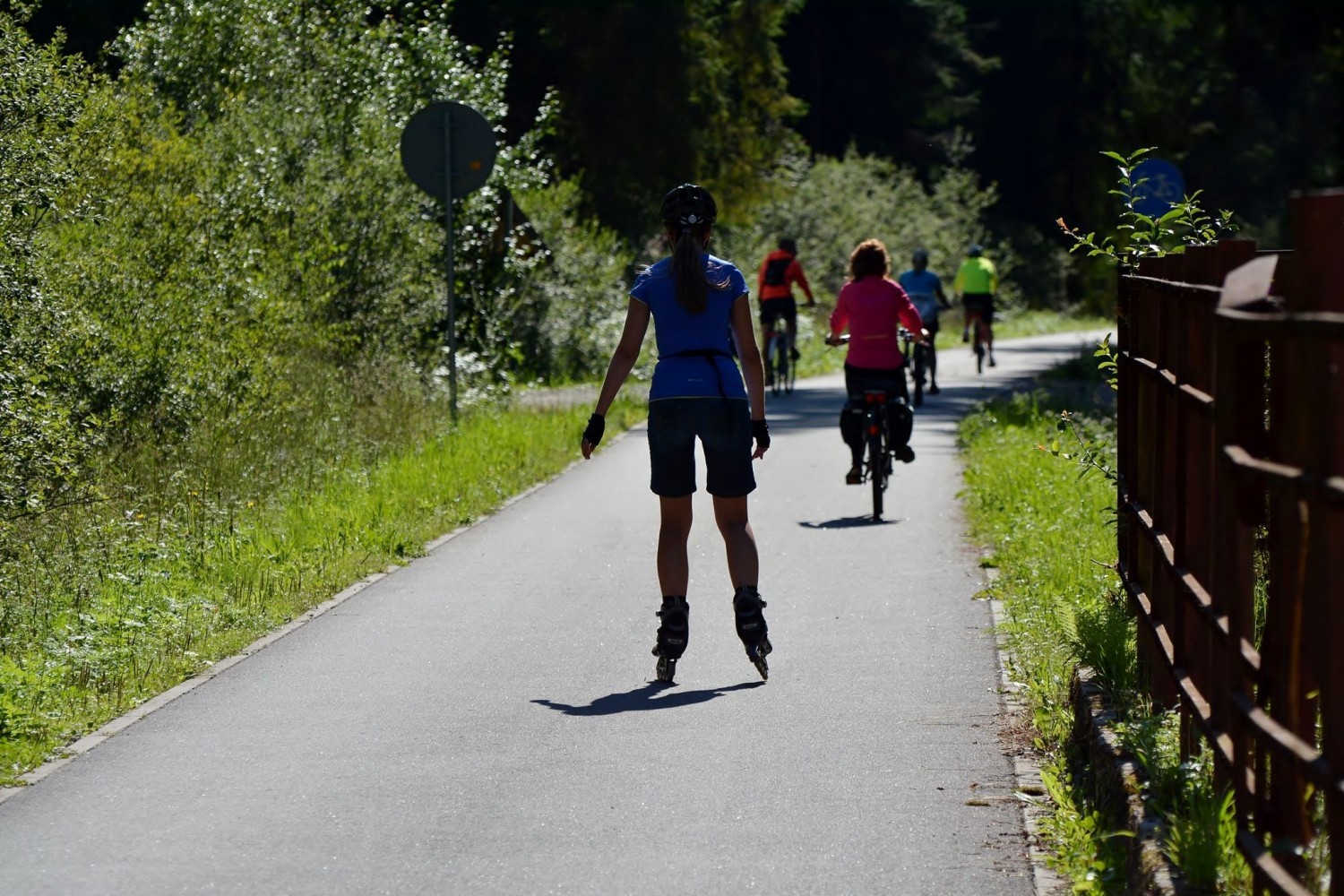
SPD - trasy odpowiednie dla każdego rodzaju roweru, tzn. szosowego, crossowego i górskiego/MTB
TRK - trasy odpowiednie dla roweru crossowego i górskiego/MTB
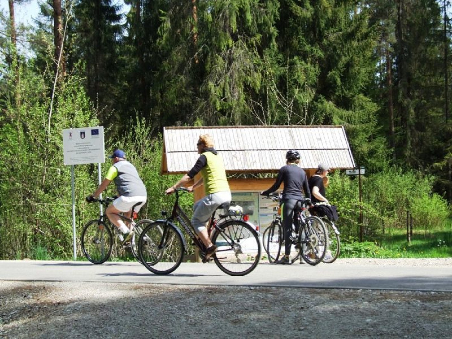
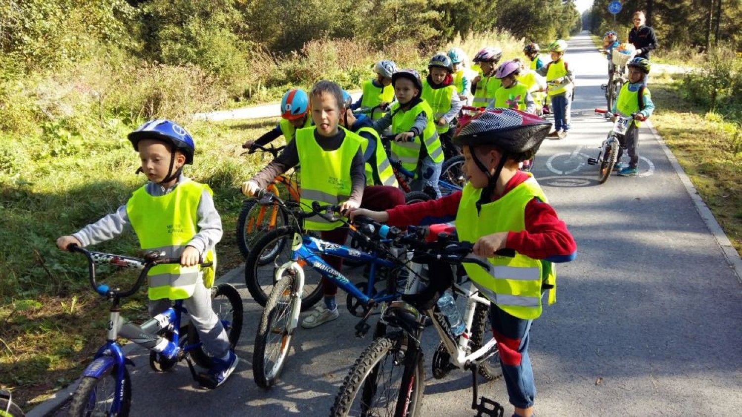
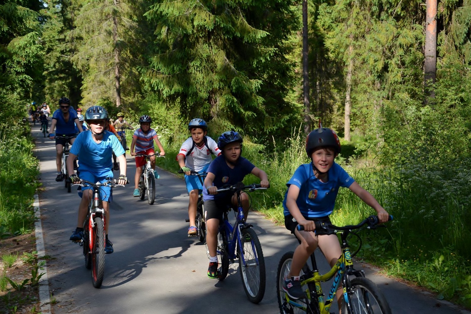
Urban cycling route, in the form of a loop around Nowy Targ, is an easy route, almost without height difference, with wide views over Tatry, Gorce and Babia Góra. It connects to the main Route around the Tatras, hiking and skiing paths located in Bór na Czerwonem and Bór Kombinacki, as well as to the mountainous cycling route leading to Turbacz (1310 m above sea level).
It runs close to the historical city centre, where you can visit the capital of Podhale with all its monuments and treasures of the past. We recommend starting the trip at the Nowy Targ Market Square, where, since the Middle Ages, the roads leading to Spiš, Orava, Gorce and Tatry meet.
Next to the St. Catherine Church located close to the market square, you can turn left and reach Słowacki Square. Behind the “Sokół” building, turn right, towards the Town Ice Rink Centre. Here you can go to Adam Mickiewicz’s Park, from where the cycling path will lead you to the banks of Czarny Dunajec, the neighbourhood Na Skarpie, and the main Route in Bór Kombinacki. You can cross the river using the pedestrian and cycling bridge. It’s worth getting off the route on St. Anne’s Street, where you can find a Gothic wooden church on the cemetery hill. The route leads further east on Czarny Dunajec boulevards, up to the Witold Pilecki’s roundabout.
Going left on Kowaniec Street and following the red trail, you will reach the shelter on Turbacz (14 km). This typically mountainous route starts in the neighbourhood Gazdy, where the paved road ends and the steep path begins. On the roundabout, you can also turn right to the bike lane, and go through the bridge to Waksmundzka Street. Behind the intersection, the route leads south, this time along the banks of Biały Dunajec, through Studzienna Street, next to Targowica Market - a traditional place for Thursday and Saturday fairs, and Sikorskiego Street, up to the pedestrian and cycling bridge, crossing of which will guide you to the parking lot and the peatlands reserve Bór na Czerwonem. The reserve offers an educational path with a great observation deck. You will also find here a few hiking and cross-country skiing paths. Once you go back through the bridge, next to the parking lot, the route goes left on Sikorskiego Street and leads to neighbourhood Polana Szaflarska, towards John Paul II’s Church. It’s a new church, built between 2008 and 2011, using ecological passive technology. Going through Solidarność Avenue and Podtatrzańska Street, you will reach a pedestrian crossing on Zakopianka and the main course of the Route around the Tatras.
The loop around Nowy Targ is closed by the section leading from the neighbourhood Na Skarpie, along Czarny Dunajec and the Municipal Park.
Share


Project’s Partners


Portal Co-Financed By The European Union From The European Regional Development Fund Under
The Interreg V-A Pl-Sk Cross-Border Cooperation Program 2014-2020

Portal modernization co-financed by the Ministry of Development
