

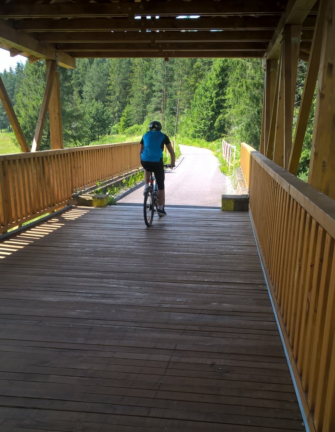
Trasa główna, czyli rowerem po nasypie dawnej linii kolejowej po stronie słowackiej
Location:
Słowacja
Category:
easy
Distance:
16 km
Start:
granica państwa Suchá Hora-Chochołów
End:
Trstená - centrum miasta
Gpx:
Rodzaj nawierzchni:
asfaltowe ścieżki rowerowe
szutrowe ścieżki rowerowe
drogi publiczne
Rodzaj roweru:
SPD - trasy odpowiednie dla każdego rodzaju roweru, tzn. szosowego, crossowego i górskiego/MTB
TRK - trasy odpowiednie dla roweru crossowego i górskiego/MTB
Orava’s part of the
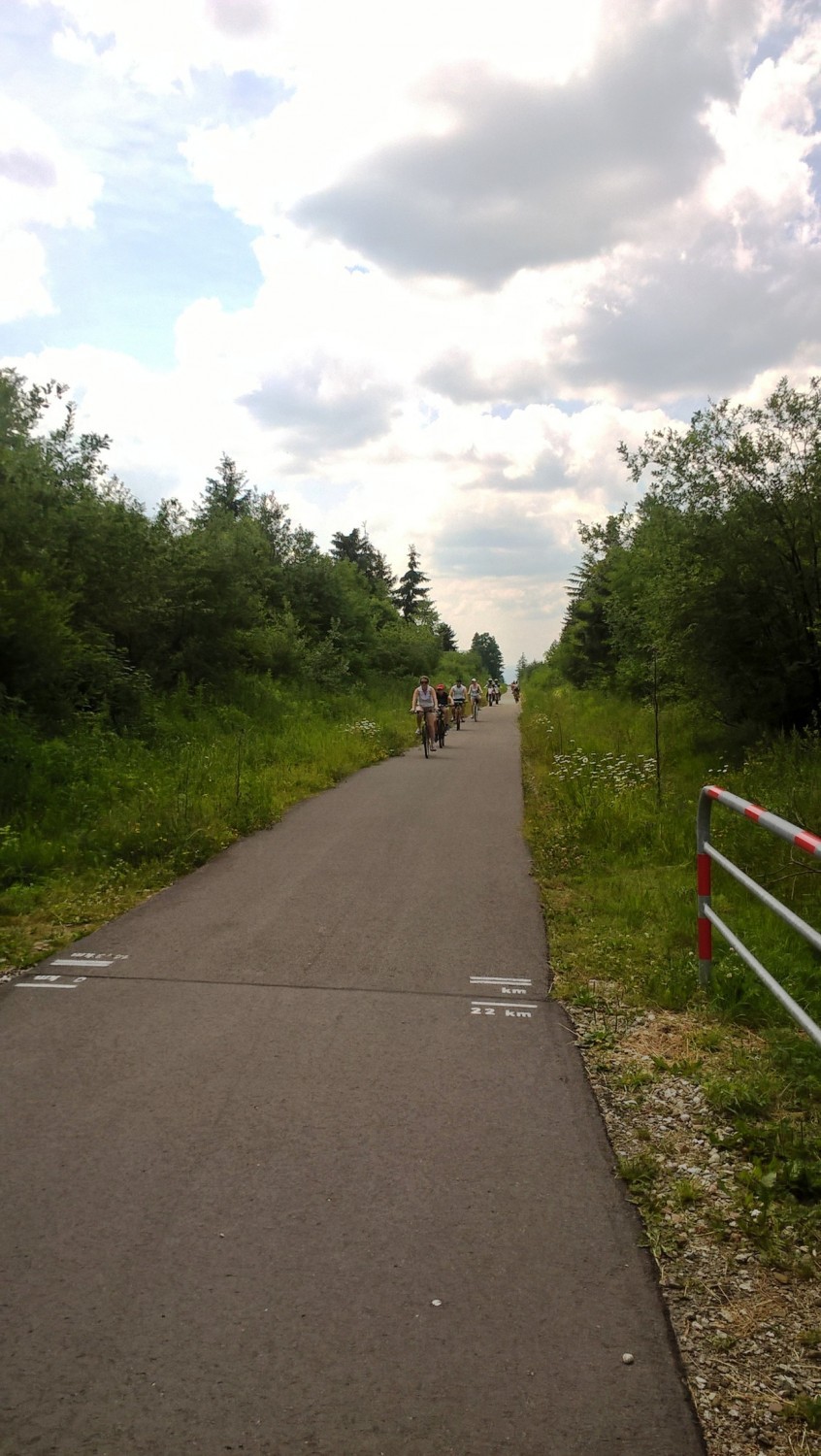
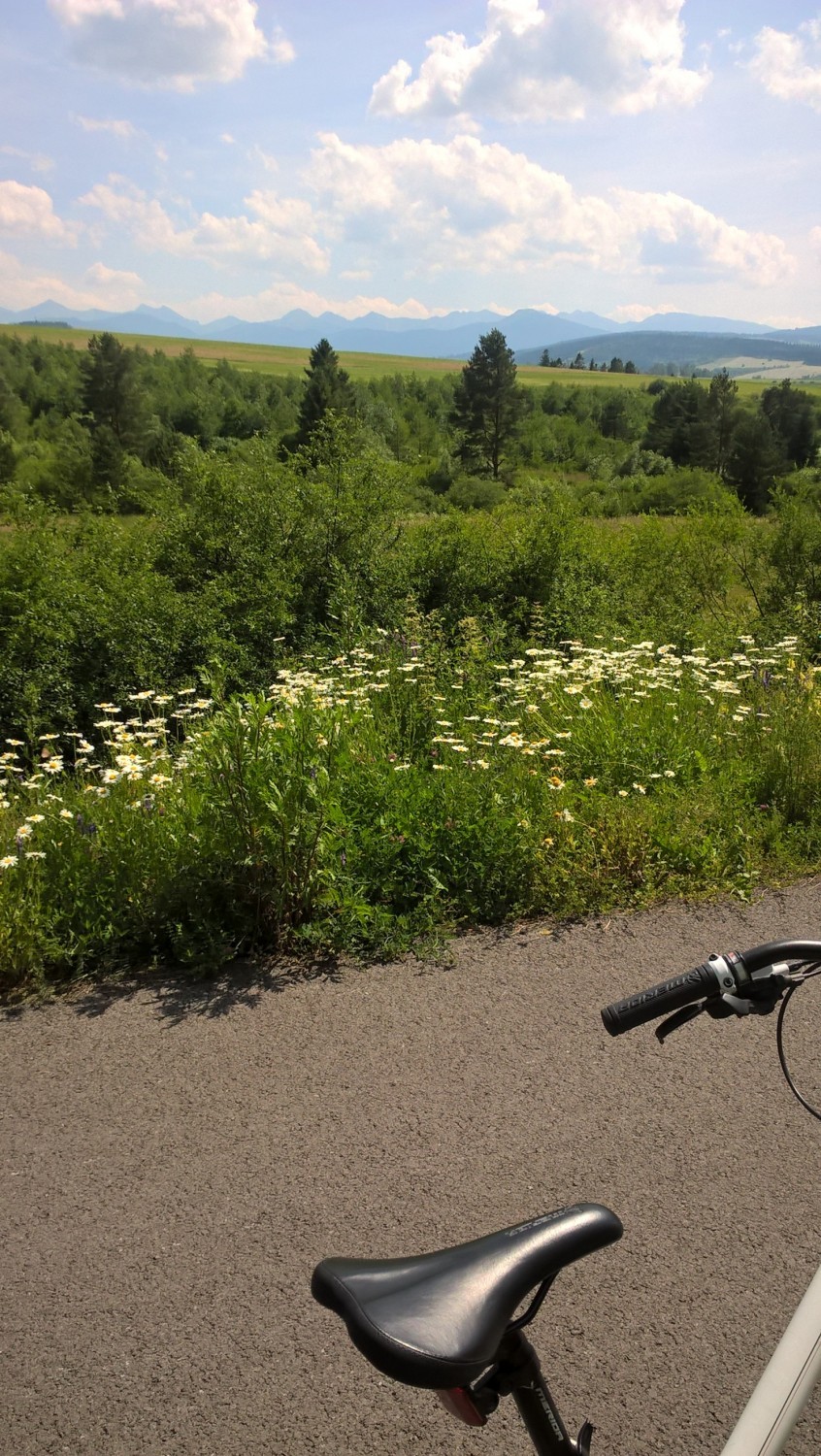
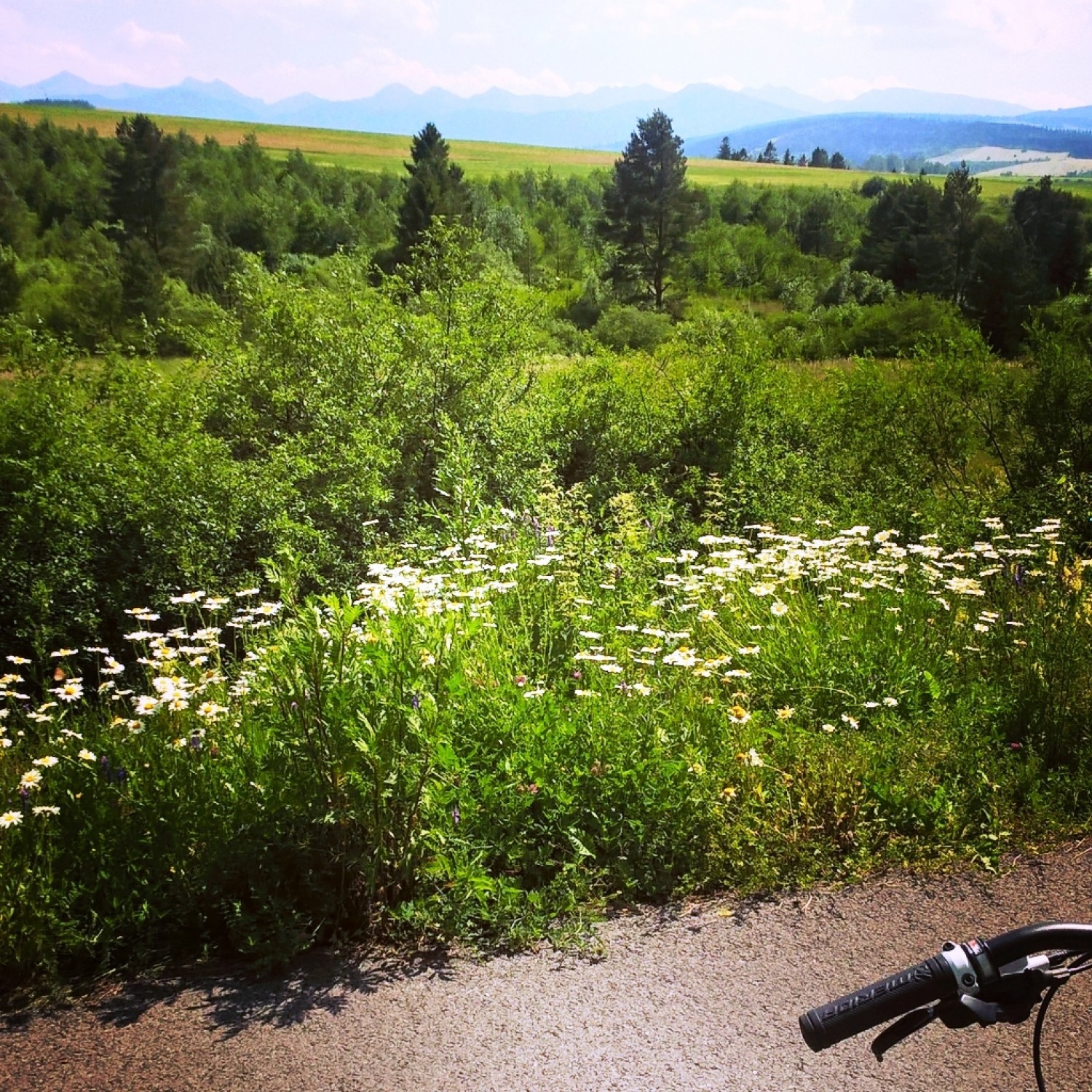
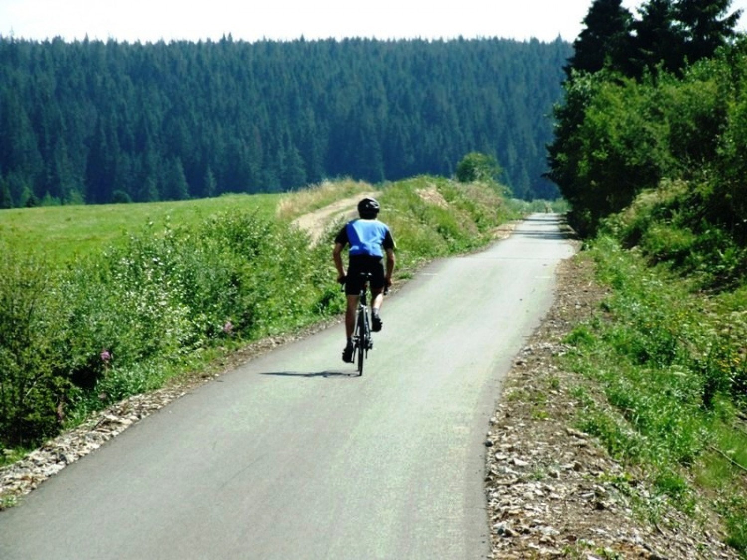
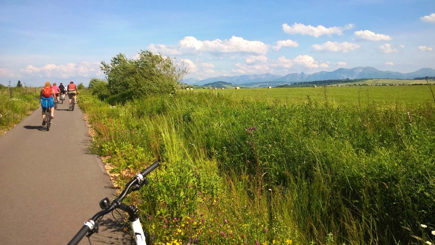
Route around the Tatras runs on the former railway embankment, similarly to the
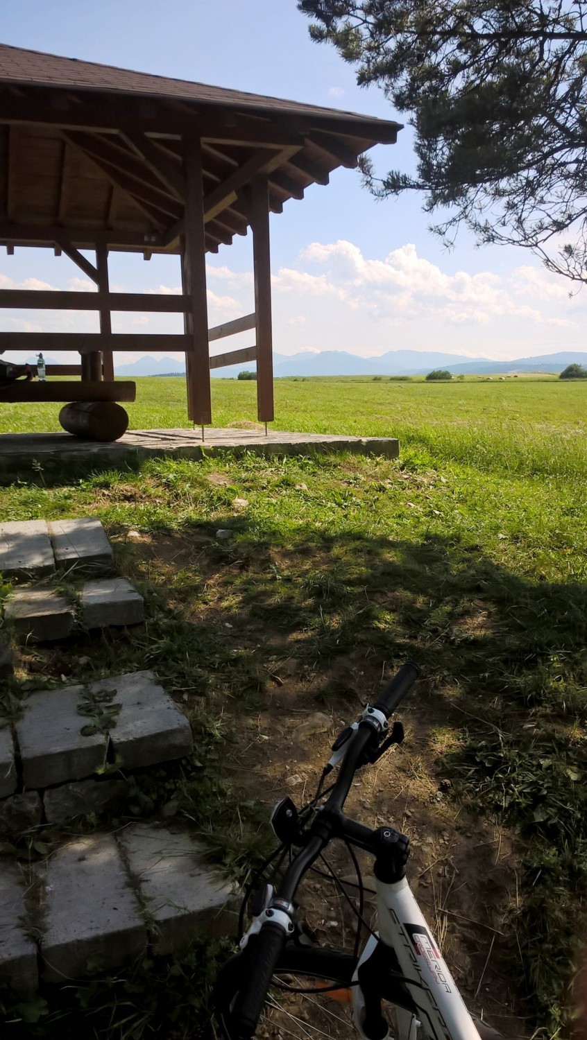
one in Podhale. On the border, you will find a forest rest stop with shelter
and benches. Besides the small ascent to Suchá Hora and Liesek, you will mostly
go downhill, in a considerable distance from the Slovakian villages Suchá Hora,
Hladovka and Vitanová.
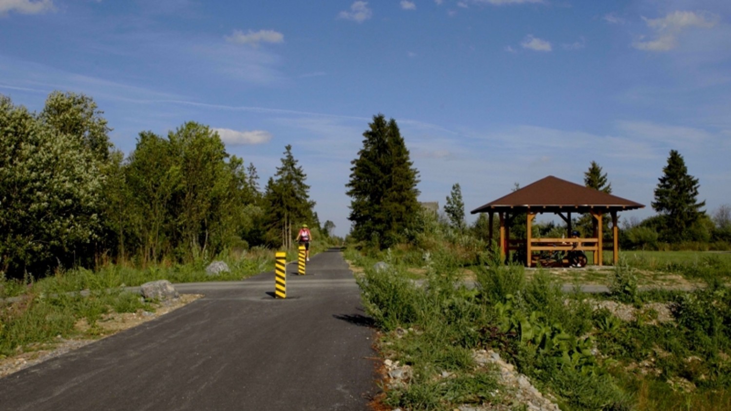
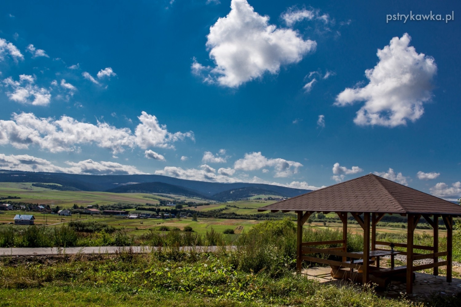
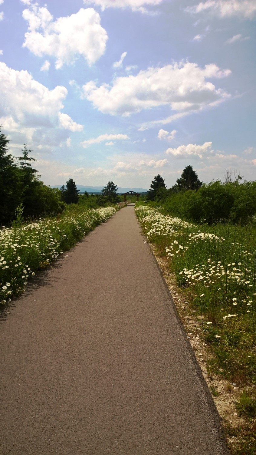
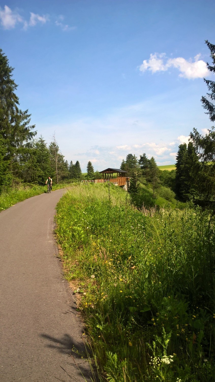
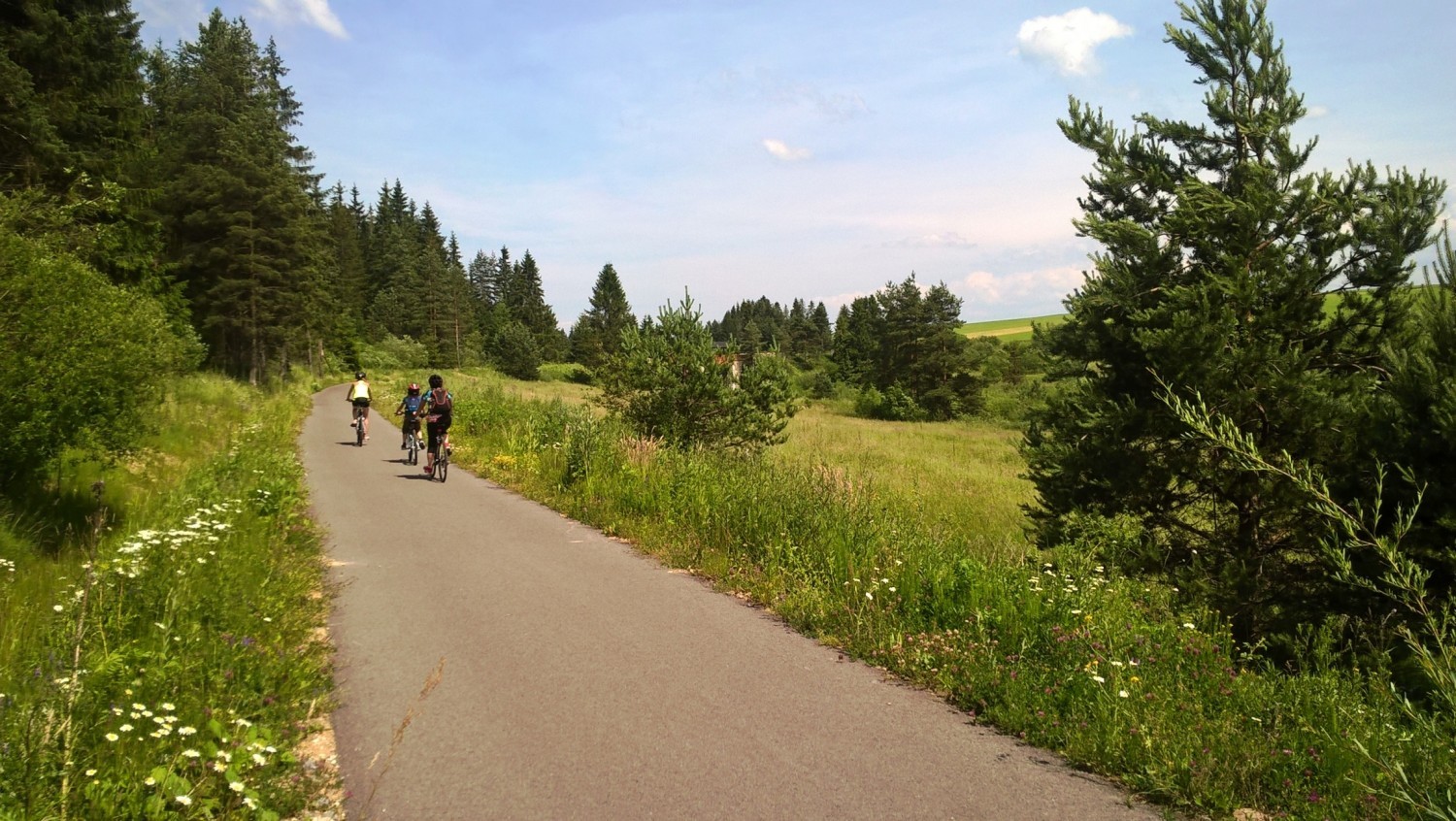
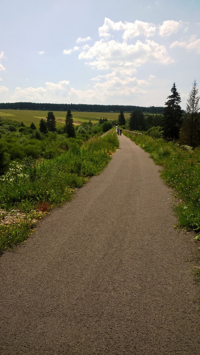
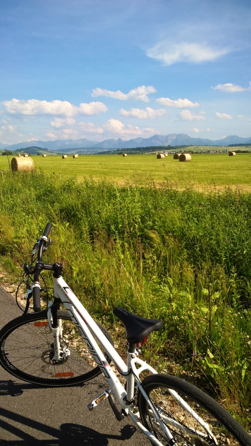
Hladovka and Sucha Hora’s foothills are part of Gorna Orawa Protected Landscape Area due to its significant natural qualities and spruce and pine forest, as well as bog woodlands and peatlands, where you can come across various plant and animal species. The route abounds in beautiful and widespread panoramic views, especially because of easily observable Tatra mountains. In Liesek Haje, you can find the observation deck with a landscape map of the main Tatra summits. Next to the rest stop, the route joins the red trail of the Oravská cyklomagistrála; if you turn left and go southeast, you will go through Vitanová and reach Oravice (15.5 km), and continue further to Zuberec (25 km). The Route around the Tatras goes around Liesek and runs toward Trstená.
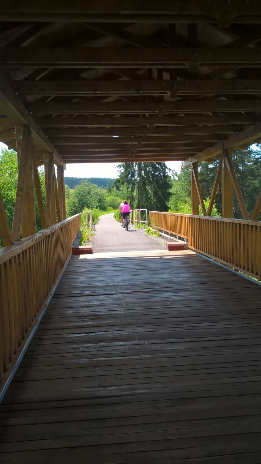
Just before entering the city, you will go under the viaduct and through the bridge over the Oravica river. The path continues along the left bank of the river, up to the intersection with road number 59 to Chyżne. This is where the Route around the Tatras ends. You can get to the city centre (450 m) by taking Bernolákova Street. Once the asphalt route ends, you can get back on the Oravská cyklomagistrála. To reach the Orava lake and Námestovo (12.5 km), you need to turn right and cross the bridge over the Oravica river.
Share


Project’s Partners


Portal Co-Financed By The European Union From The European Regional Development Fund Under
The Interreg V-A Pl-Sk Cross-Border Cooperation Program 2014-2020

Portal modernization co-financed by the Ministry of Development
