

Rodzaj nawierzchni:
asfaltowe ścieżki rowerowe
szutrowe ścieżki rowerowe
Rodzaj roweru:
SPD - trasy odpowiednie dla każdego rodzaju roweru, tzn. szosowego, crossowego i górskiego/MTB
TRK - trasy odpowiednie dla roweru crossowego i górskiego/MTB
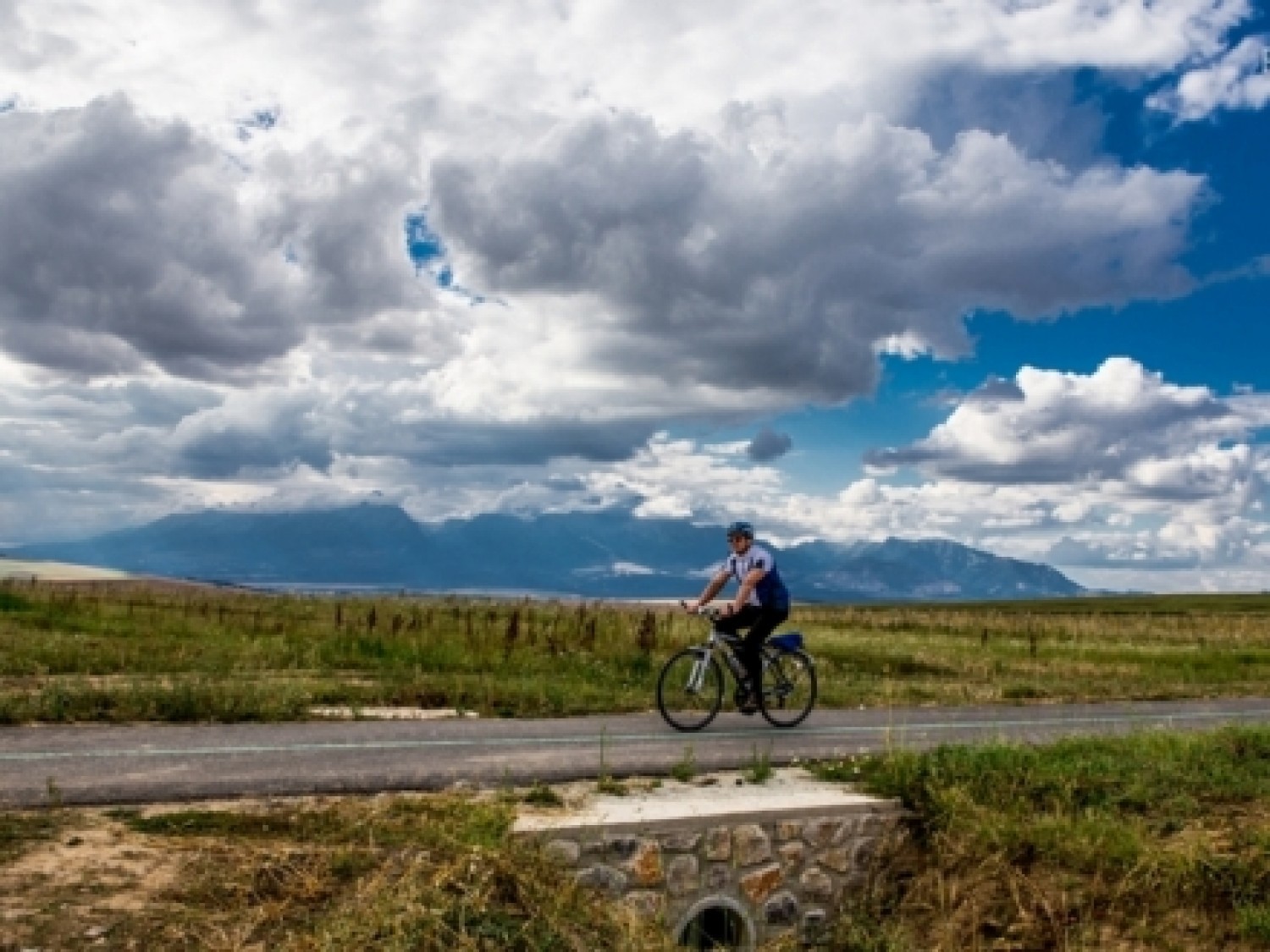
The Spiš part of the Route around the Tatras starts on the right bank of Poprad, one kilometre before the western borders of the city of Kežmarok.
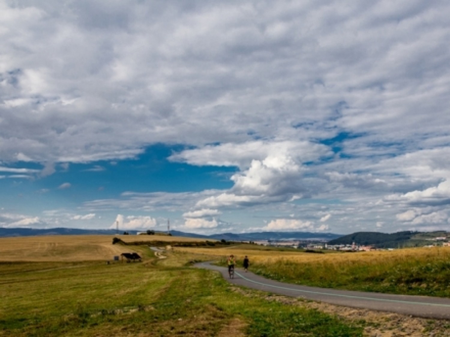
Starting from Nábrežna Street, you can reach the 4.6 kilometre-long part of the route, which on the wide asphalt path will lead you to the centre of Vrbov. Here, you need to turn into Vyšný Mlyn Street and go further through Krvavé Pole Street, where behind the intersection with Mučeníkov Street, you need to go south on Tatrzańska Street up to the neighbourhood Juh, and then through Južna St. to Obrancov Mieru St.
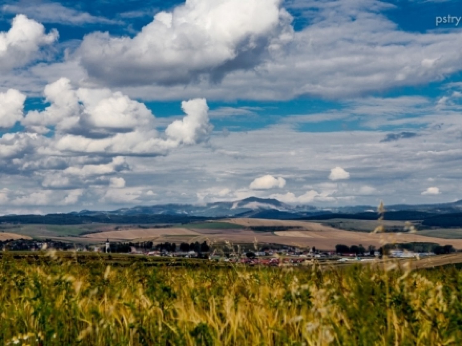
Just outside the city limits, the route passes the forest on the left and goes west (the existent road leads to Zelené Pleso and Żakowski staw ). It is worth stopping by next to the roofed rest stop, as beautiful views over High and Low Tatras and the Levoča Mountains spread in front of you. The route leads slightly uphill, up to Ostrá Skala, and goes downhill to Vrbov - a picturesque former town, nowadays popular due to its geothermal baths.
Share


Project’s Partners


Portal Co-Financed By The European Union From The European Regional Development Fund Under
The Interreg V-A Pl-Sk Cross-Border Cooperation Program 2014-2020

Portal modernization co-financed by the Ministry of Development
