

3a
Trasa główna, czyli rowerem po nasypie dawnej linii kolejowej po stronie polskiej
Location:
Polska
Category:
easy
Distance:
21 km
Start:
Nowy Targ, przy drodze krajowej 47 z Krakowa do Zakopanego, za hotelem „Skalny Dworek”
End:
granica państwa Chochołów-Sucha
Gpx:
Rodzaj nawierzchni:
asfaltowe ścieżki rowerowe
szutrowe ścieżki rowerowe
Rodzaj roweru:
SPD - trasy odpowiednie dla każdego rodzaju roweru, tzn. szosowego, crossowego i górskiego/MTB
TRK - trasy odpowiednie dla roweru crossowego i górskiego/MTB
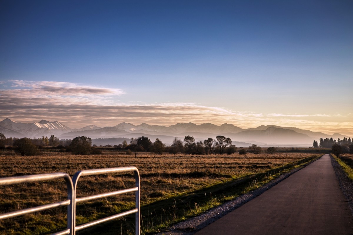
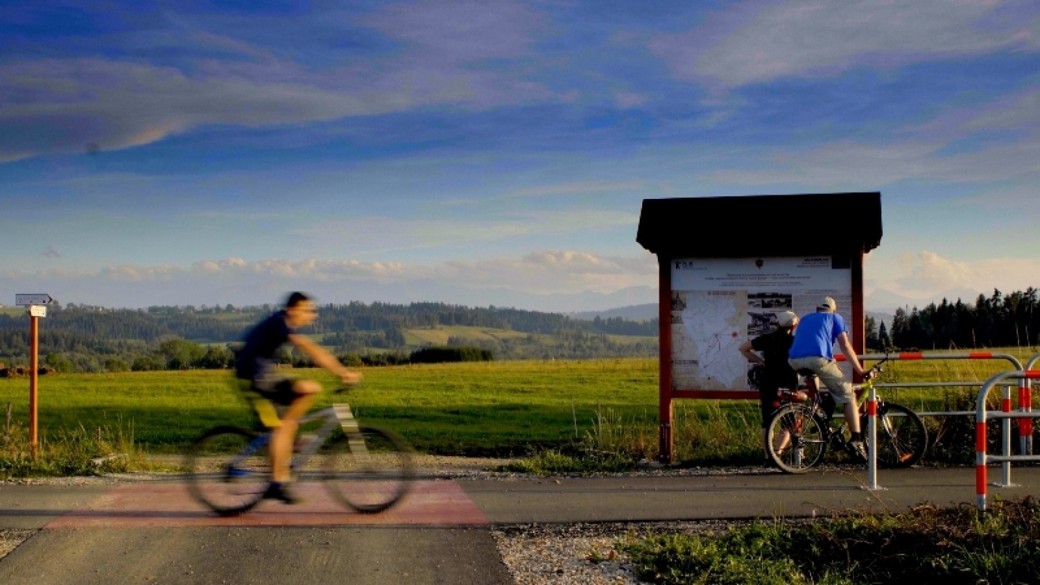
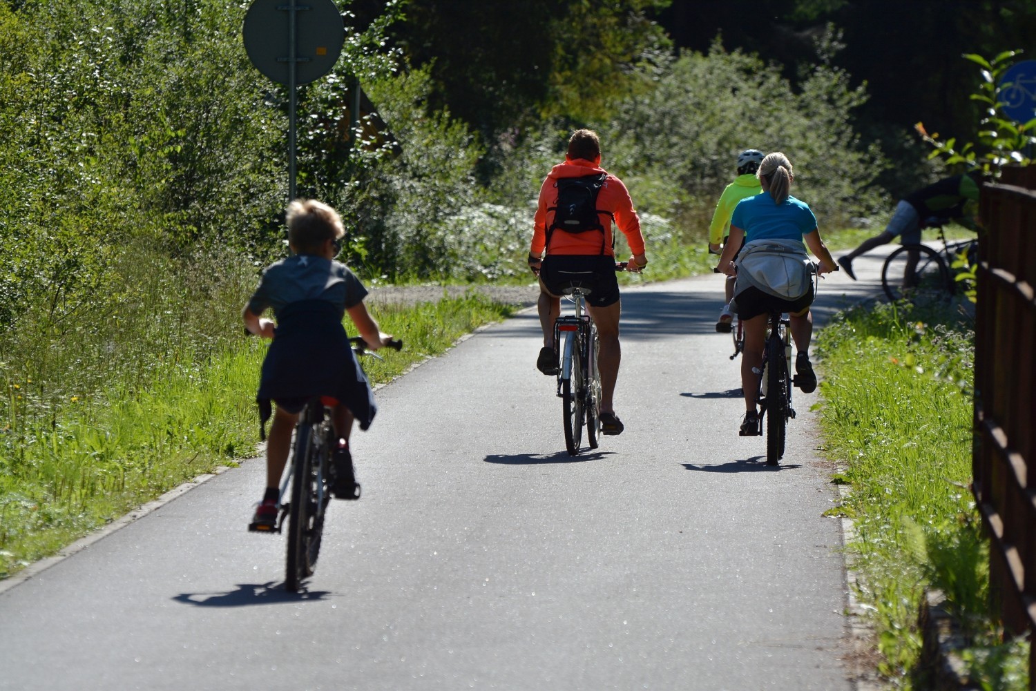
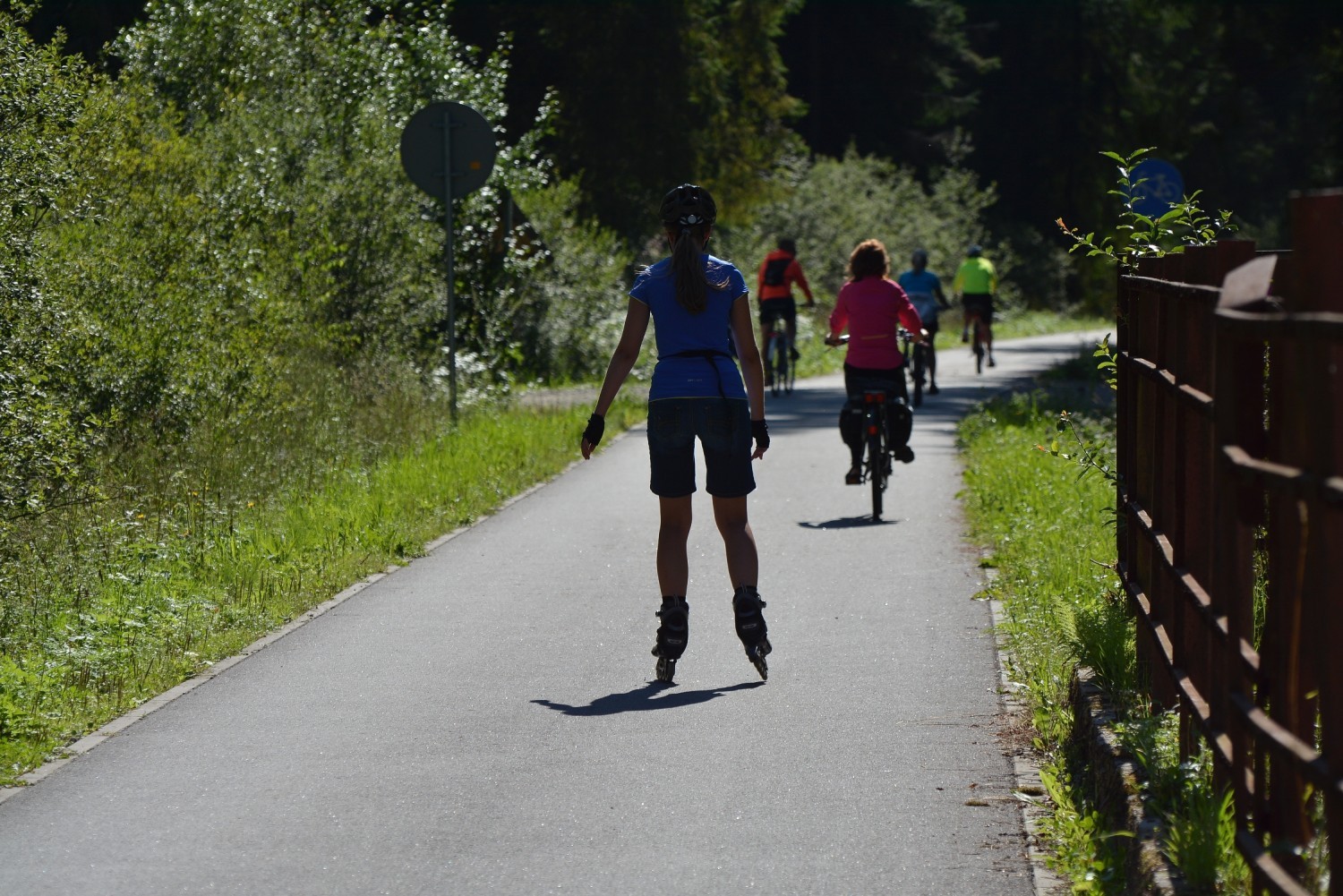
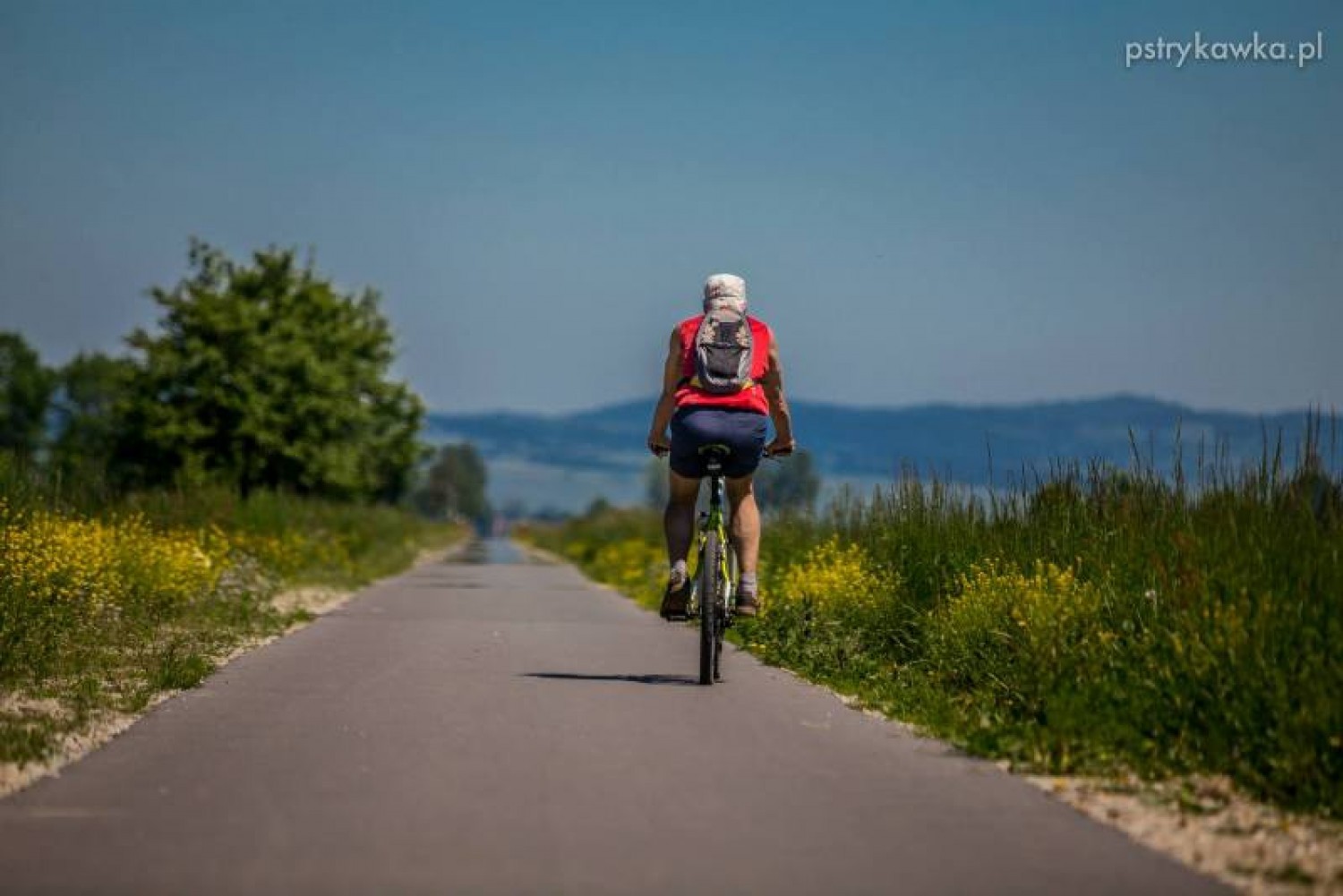
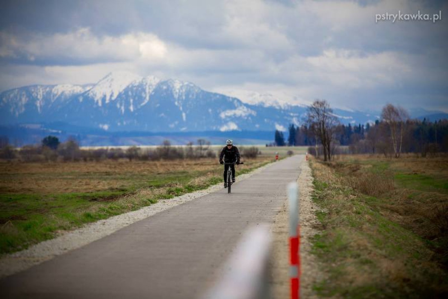
The Podhale part of the main cycling Route around the Tatras starts in Nowy Targ. The main route runs on the former railway embankment from Nowy Targ to Suchá Hora. Three metre-wide and 20.6 kilometre-long asphalt route will guide you through Ludźmierz, Rogoźnik, Stare Bystre, Czarny Dunajec, and Podczerwone, up to the border and further, for 14.4 km on the Slovakian side, up to Trstená. It is perfect for recreational bikers and roller skaters.
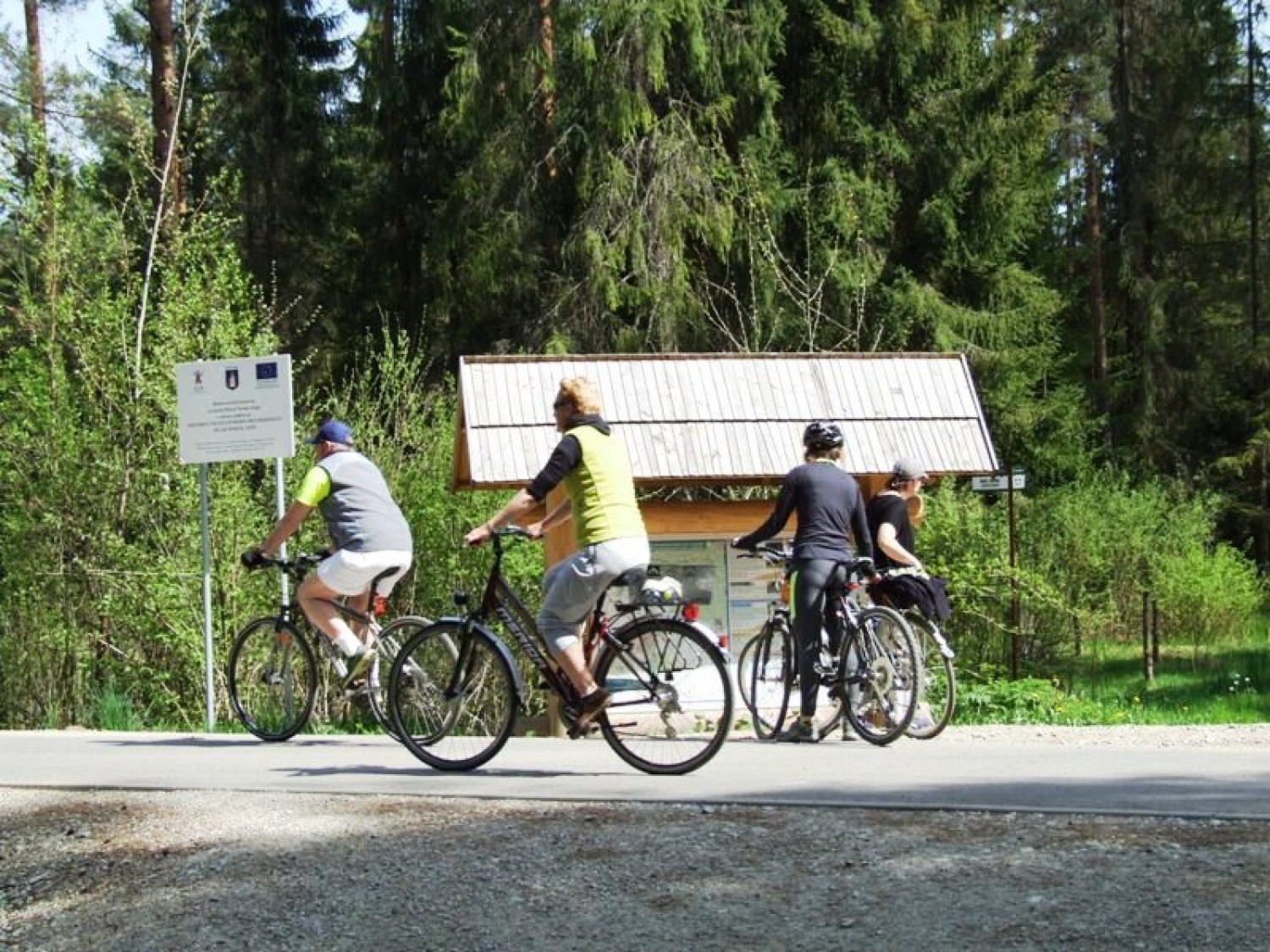
This part of the cycling route starts where the railway line to Suchá Hora used to branch into the currently running line to Zakopane. The entrance to the route is located on the southern outskirts of the city, next to the national road 47 from Krakow to Zakopane. The restaurant and hotel Skalny Dworek (7a Krakowska St.) serves as a recognisable landmark - as you pass the restaurant’s fencing and car dealership (on the left), you enter a road, which meets the railway crossing in 200 metres. After crossing the line (you need to walk the bike), the route starts. Accessing the route is also possible from Ludźmierska St. - on the intersection with the traffic lights, next to the neighbourhoods Na Skarpie and Bór, you will find the municipal cycling route running from the city centre. Behind the intersection, take the path along the road 957 to Czarny Dunajec, and after 400 m, turn left into the forest path, which joins the main route after 700 m. The Nowy Targ part of the route runs through Bór Kombinacki - plain, swampy, peaty spruce and pine forest, with Podhale’s unique species of pine trees, with shorter needles and beautifully rounded treetop.
After 1.5 km, you will pass the building of the former railway station Nowy Targ Fabryczny and buildings of the old leather-dressing factories. The gravel path leading left, which in winter serves as the running route for the skiers, will take you to Szaflary. This is where the city ends.
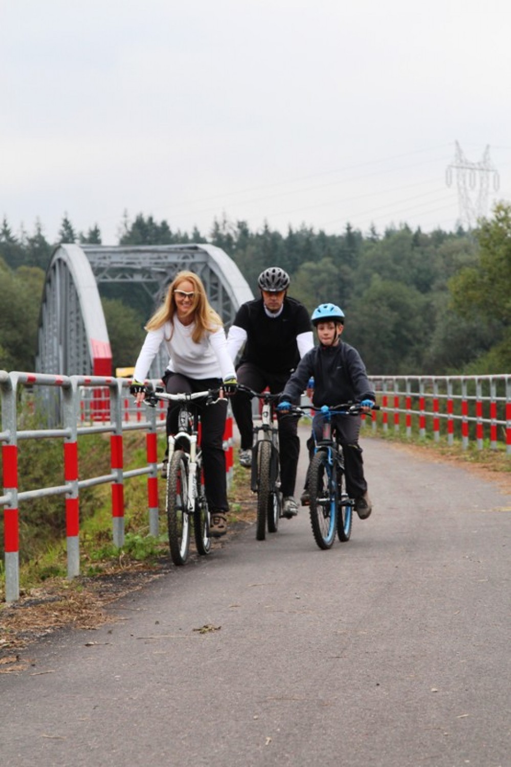
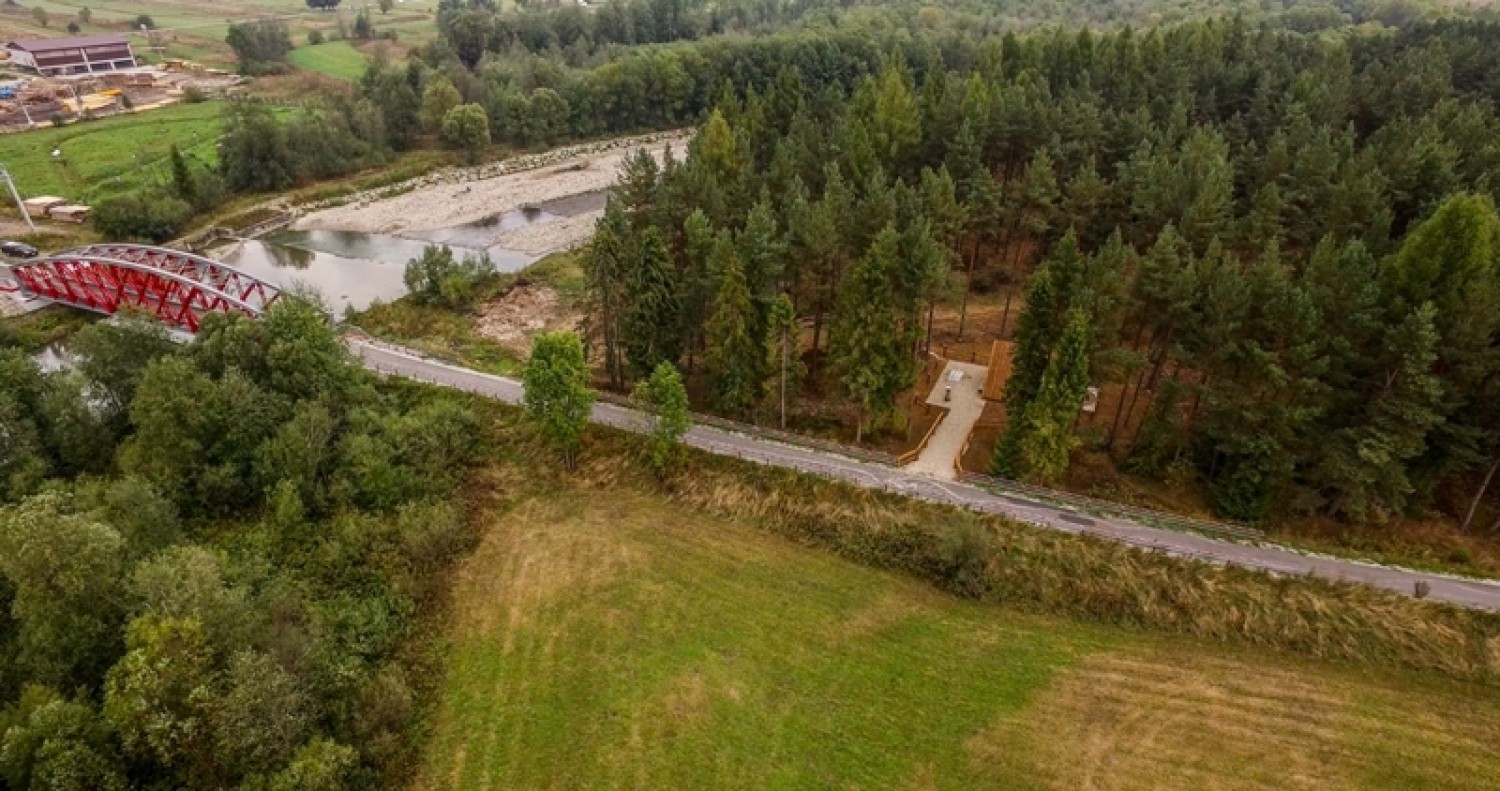
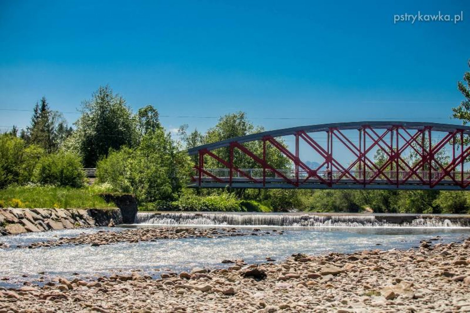
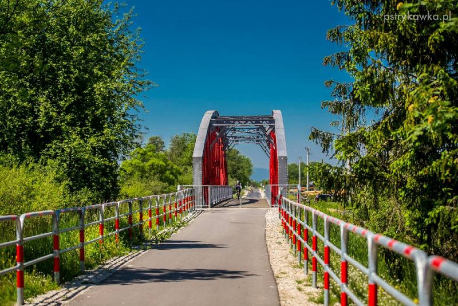
Going further, after another 500 m, the forest ends, and the route crosses the local road leading south to Zaskale and Szaflary. Once you cross the old railway bridge over Rogoźnik, you will enter the open and plain Nowotarska Basin.
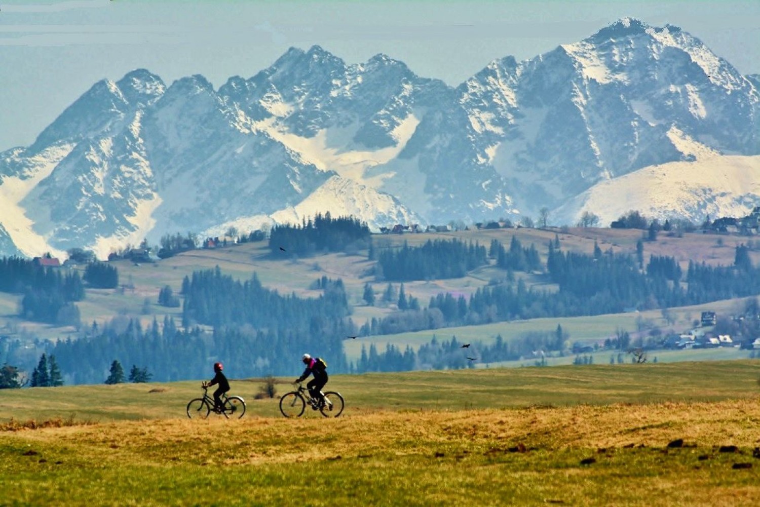
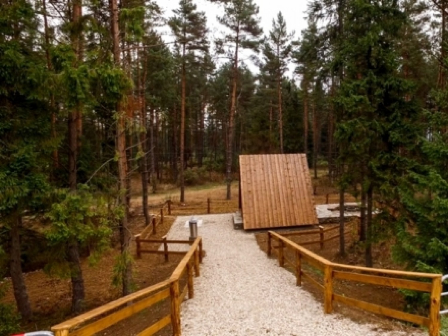
Next to the rest stop in Ludźmierz, you can go right, and through a short connecting path, get to the centre of the village and visit the Marian shrine (2.5 km). From the course of the route, you can appreciate the vast and beautiful views over the Tatra mountains, with the Gubałówka Foothills in the south, and Działy Orawskie, Babia Góra, Żeleźnica mountain range, and Gorce in the north. Going through Rogoźnik village and to Stare Bystre, before the forest Sośnina (8 km), the route branches out into two directions - if you go left, you can enter the route leading to Chochołów, which after 14.2 km joins the main course of the route, close to the Polish-Slovakian border. If you decide to go straight, on the right, you will pass the connecting path to Wróblówka and the former railway station in Czarny Dunajec (11 km), where you can turn right and get to Czarny Dunajec. The main route goes towards the Tatras and through the next 4 km runs along the right-bank plains of the Dunajec river.
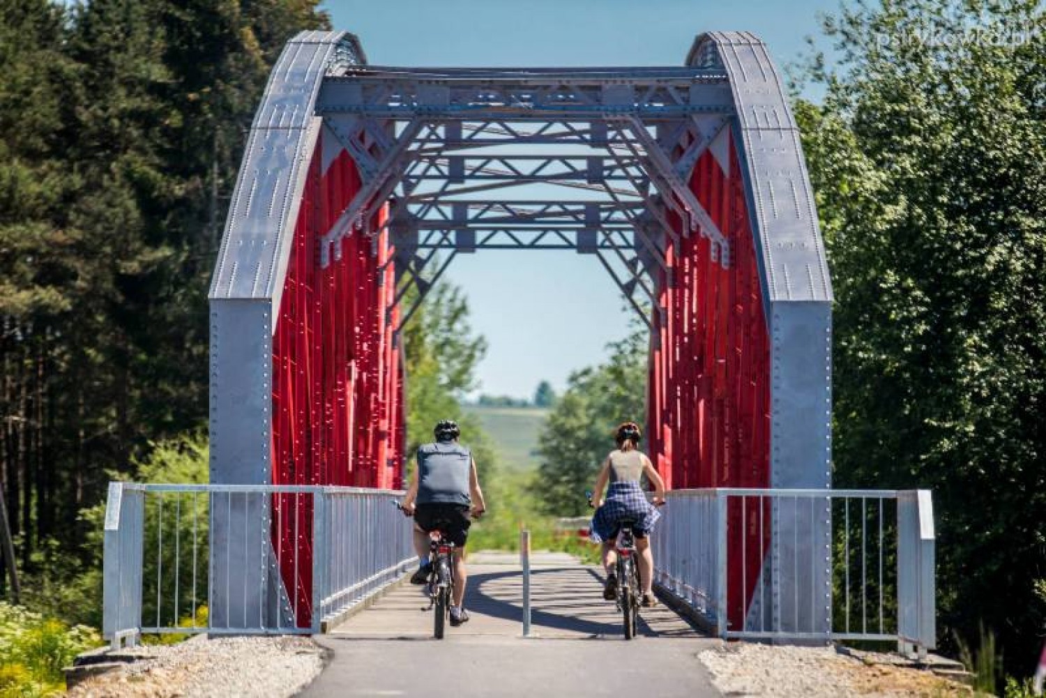
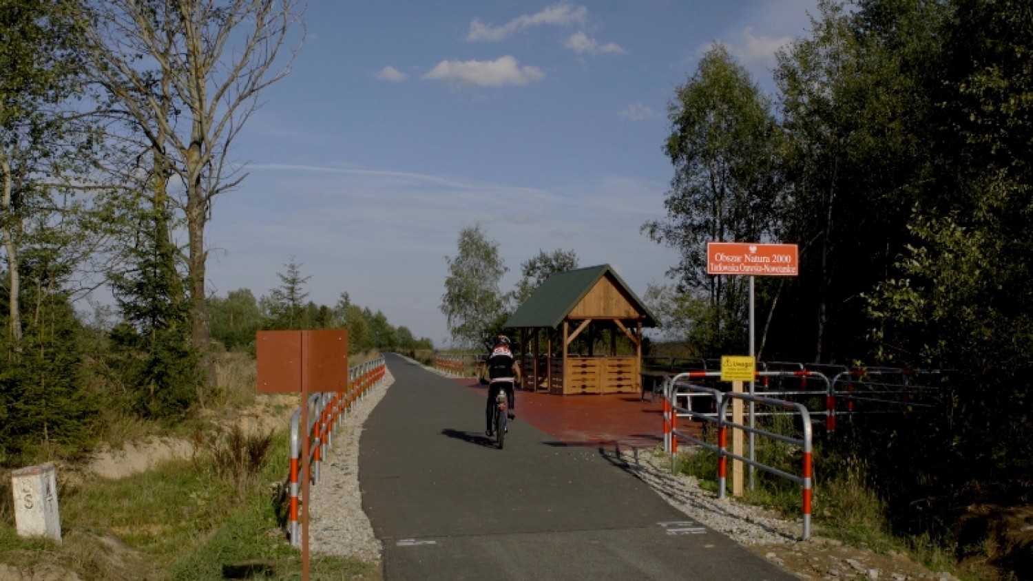
Next to the old railway bridge on the Dunajec river bank (15 km), you will find a perfect rest spot for a picnic and a bonfire. Once you cross the bridge, the route will take you across the road 957 from Chochołów to Czarny Dunajec, and left towards Podczerwone. The main route goes around Podczerwone and its old railway station (17 km), just to go further through Orava-Nowy Targ peatlands and neighbouring Przybojec peatlands. A kilometre before the border, it connects to the side route leading to Koniówka (1.6 km), and 500 m further, to the Borowa Road from Chochołów. After crossing the border, the 14 kilometre-long part leads to Slovakia and ends in Trstená.
Share


2a


Project’s Partners


Portal Co-Financed By The European Union From The European Regional Development Fund Under
The Interreg V-A Pl-Sk Cross-Border Cooperation Program 2014-2020

Portal modernization co-financed by the Ministry of Development
